
C-map Na-m024 Max Wide C Card West Coast And Hawaii
- Auf Lager
- Nachbestellt, bald verfügbar
- Pay no sales tax outside of Michigan
- Free shipping on orders over $75
- 30 day return policy*
- 2 day shipping & overnight available. Call for rates! 248-895-6013

C-Map Max Wide C-Card USA West Coast and Hawaii
Model: M-NA-M024-CCC-MAP MAX electronic charts have been a worldwide standard for years, providing cruisers, sailors and fishermen with the accurate, up-to-date chart data they need to enjoy each day on the water. Still a leading choice of navigators and chartplotter manufacturers around the globe.
Specifications| Dynamic NavAids | Yes |
| Dynamic tides | Yes |
| Gaurdian alarm | Yes |
| Detailed marina port plans | Yes |
| Photos and diagrams | Yes |
| Route-check | Yes |
| Depths and land elevation | Yes |
| Detailed harbor | Yes |
| Perspective view | Yes |
| C-Marina Port Database | Yes |
| Points of interest | Yes |
| Multi-language capability | Yes |
Where do I start! This man is a genius, I may have ordered a amateurs dream from this man, went all out on garmin products from gpsmap screens to the live scope lv34 and to juice them up I went with all powerhouse batteries and charging units! Well now on the boat I’m staring at this out dated minnkota and it just looked out of place so I went ahead and ordered up the KRAKEN! I can’t stop bragging on how much you have helped me, even face timing me on the water to fine tune my Livescope, there is no big box store that could even come close to offer this level of customer service! You will forever be my go to company! Thank you again!
Yoshi Johnson, Illinois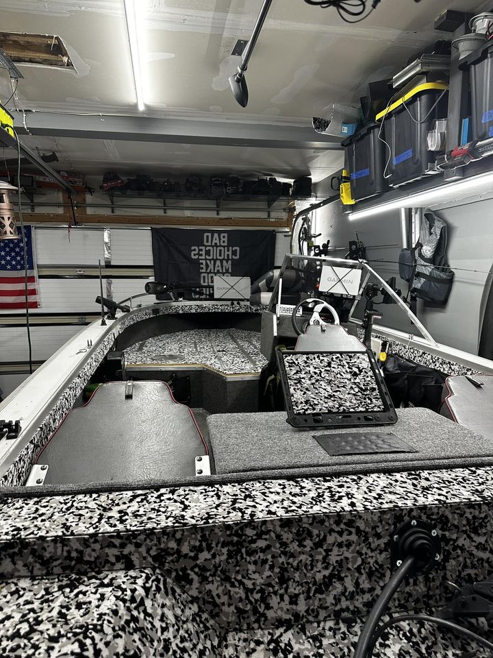
Very fast shipping. Very knowledgeable guy to deal with. I inquired after hours and Chad responded quickly and chatted with me for way longer than necessary because I knew nothing about livescope. Who offers there cell phone number to call with any install questions??? Chad does. I got a friend request from him and accepted. Felt like I bought from someone who values my purchase as well as my friendship. We may never meet but I feel like I have gained a great friend. Thanks Chad for all your time spent explaining what I wanted and giving me choices. This won't be my last purchase..
Mark Teel, Texas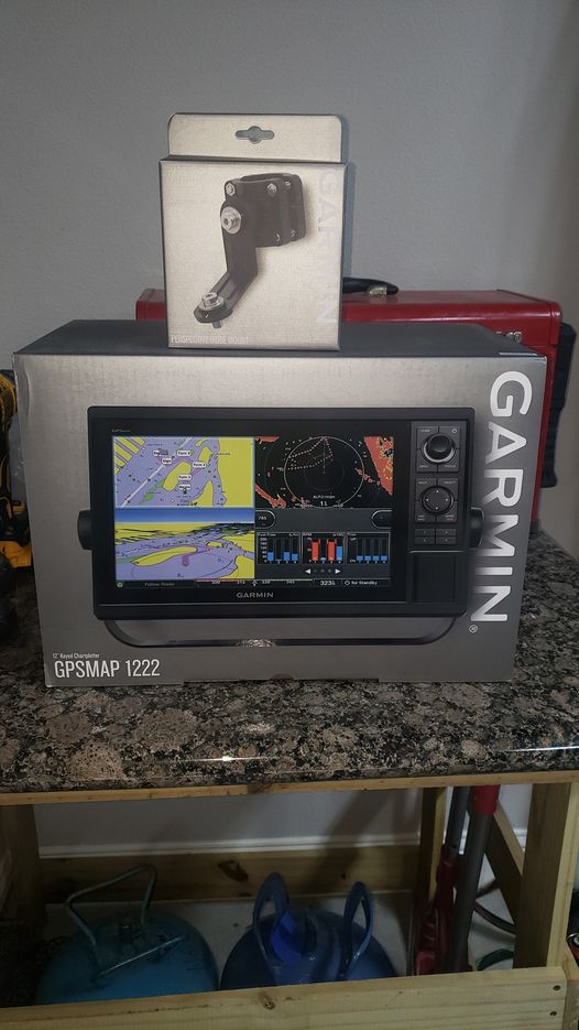
It has been a pleasure dealing with Chad at Chaddy Boys! I had contacted him many times on the phone and has been very helpful! I felt like we had been old friends for a long period of time! Chad sent me many quotes and was very helpful on choosing the electronics setup I was seeking! I ordered my unit and received it on exact date I was quoted! I will definitely be buying from Chaddy Boys again!
Shane Bramlett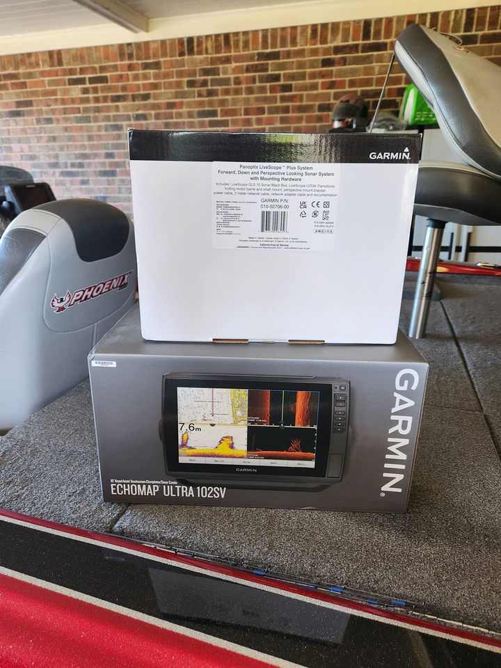
This 16 volt battery and Run and Gun Charger is the only way to outfit your boat. Fish all day with no worries. Chad is very knowledgeable and helpful with the everything you need for a great day on the water. Now just waiting for a 36 volt to have the perfect setup. Thanks Chad.
Update* Well we just installed the second battery and run and gun charger. Took out 3 lead acid and about 120 lbs. Looking forward to the new system. Gonna be awesome. Thanks again Chad
Heather & Randy Moore, Florida/Canada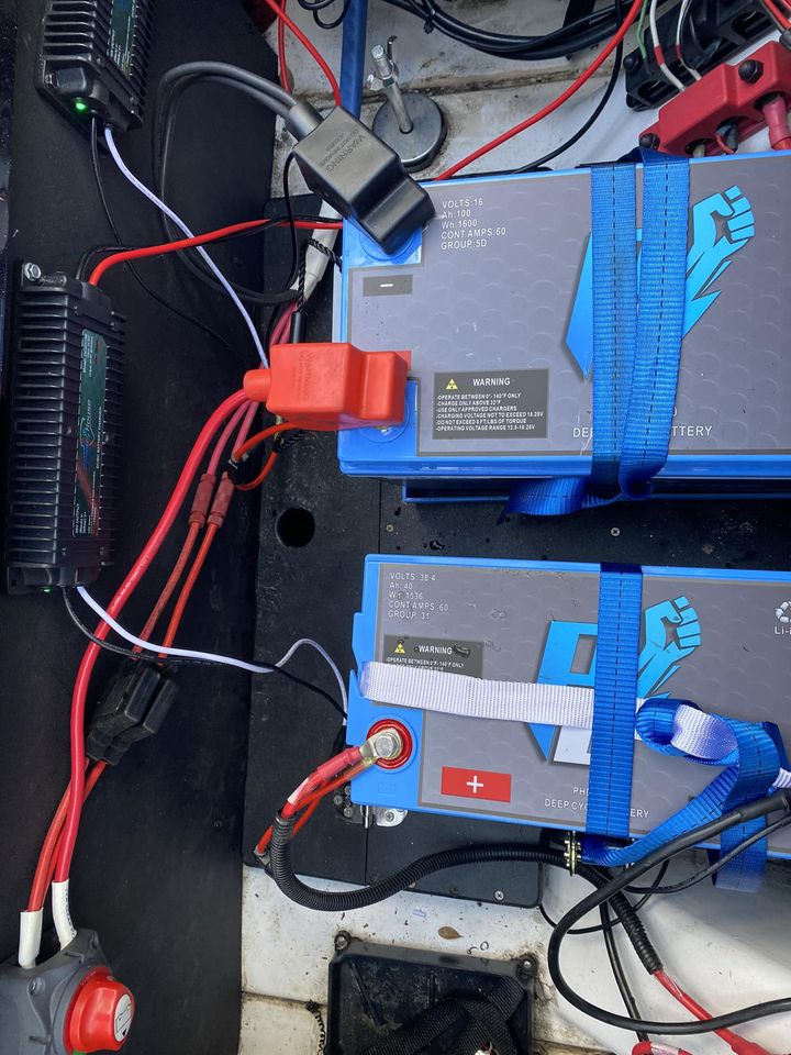

We offer on the water Face-Time calls for product install, setup & graph tuning for side-Imaging, down-imaging & livescope! I took this side scan image 4 years ago.
How many fish do you count?
Whether it’s weekends at the lake, Wednesday night derbys, or the Bassmaster Elite Series. We've got you covered. We pride ourselves on answering the phone & providing you excellent customer service.


